
Corvallis Previous Residents by Era
For previous residents, build a timeline rather than relying on one screen. Benton County’s online assessment record is the modern starting point, while the older deed, directory, newspaper, permit, and map layers fill different periods. Record the address exactly as each source prints it. A lot number, map taxlot, or legal description can join entries even when street wording changes. The table separates records that identify a property interest from materials that offer dated household or building context.
| Source | Years It Covers | Where Held | What It Shows |
|---|---|---|---|
| Assessment Property Account Search | Cataloged 2003-present | Benton County online | Parcel account, sales, improvements, and the map-taxlot bridge |
| City permit database | 1990-present | Corvallis permit search | Applications, permits, plans, and building-work context |
| City archive address documents | Before 1990 | City Archives, Community Development | Older permit and land-use material tied to an address |
| Direct and indirect deed indexes | About 1854-about 1984 | Avery Self Help Area and listed county holdings | Grantor-grantee trail and legal-description bridge |
| Corvallis directories | 1934, 1937, 1940, 1947, 1954 verified scans | Corvallis-Benton County Public Library | Dated family, address, and occupation clues |
| Federal census and county newspapers | Census through 1950 publicly released; newspapers 1857-present | National Archives routes and library collection | Household snapshots, notices, and obituary context |
Begin with assessment when the address has a modern parcel. For earlier ownership, shift to the direct and indirect indexes. For an occupant question, use the dated directory evidence and census together, then test the result against deeds, tax material, or notices. The library does not document a citywide Corvallis reverse-directory run, so do not assume an address can be browsed in every year.
Corvallis Address Records Start With a Taxlot
Use the Benton County Assessment Property Account Search to anchor a Corvallis address before chasing names. It accepts property address, owner name, account number, and map and tax-lot modes. A result can expose the situs address, account number, map taxlot, sales history, improvement detail, and a Taxlot Map link. The county also warns that its current owner information lives in a linked property-search layer, so a result should be read as a connected county workflow rather than a permanent one-screen profile.
A situs address names the physical place. A mailing contact, where another county layer displays one, may point elsewhere. A legal description and map taxlot identify the land interest. Keep all three concepts separate. That protects the timeline from a common error: treating an owner name, mailing contact, or deed party as proof that someone lived at the address.
- Map taxlot
- The county identifier that connects an assessment account to a parcel on the GIS map.
- Situs address
- The physical property address shown for the parcel, not necessarily a current occupant’s contact location.
- Legal description
- The lot, block, subdivision, or other land wording in a recorded instrument. It is often steadier than an old street number.
Note: Corvallis assessment results can contain more than one account at an apparent address, so confirm the taxlot and property type first.
Corvallis Historic Records and Deed Indexes
The modern assessment database is cataloged from 2003 forward, but Benton County’s historical bridge is much longer. The Oregon State Archives Benton County inventory lists direct and indirect deed indexes from about 1854 to about 1984. It also identifies deed microfilm groups for 1854-1857, 1900-1945, and about 1946-1966. Those ranges describe available series and formats, not a promise that every search is online.
The State Archives inventory documents the named historical holdings and their access routes.
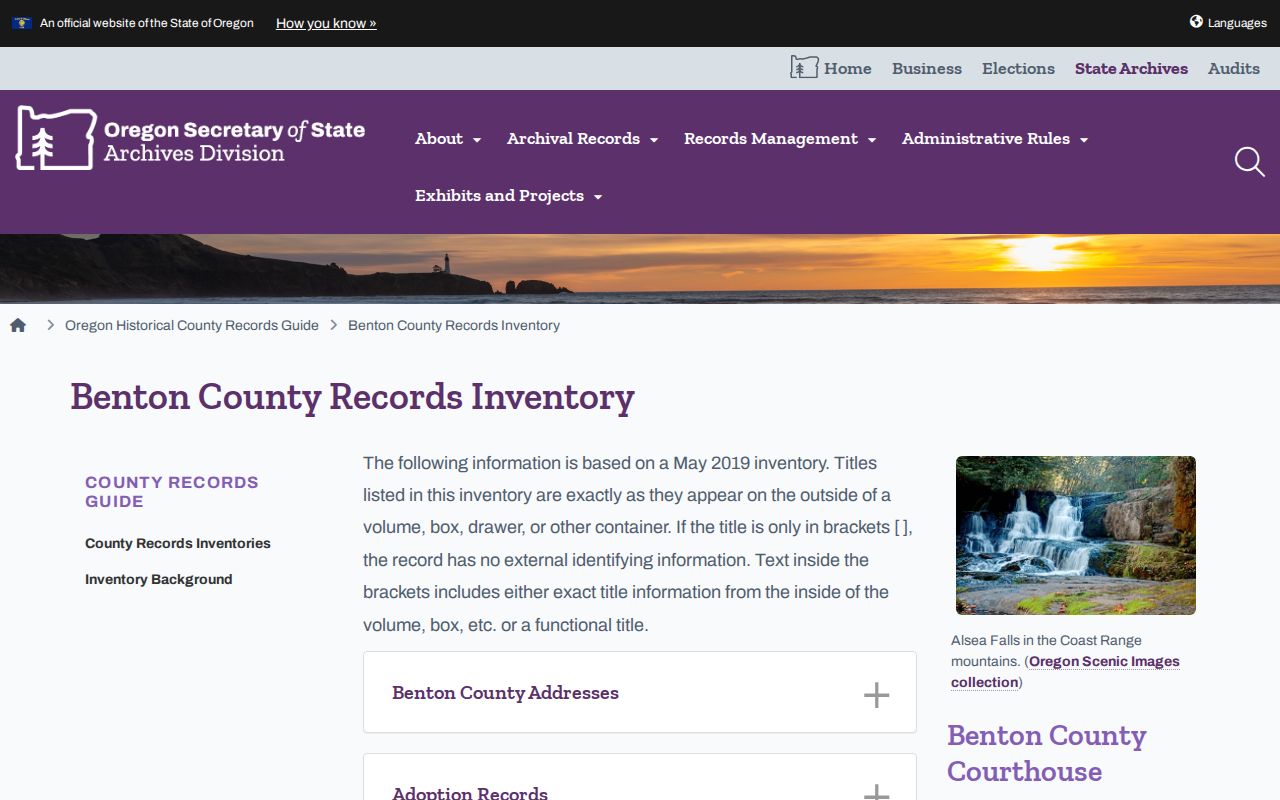
The image reinforces why a house-history search changes tools by era. The county Records Center itself is not a public-access destination; ask the custodian which counter, terminal, microfiche, or copy route applies. At the Avery Land Services Building Self Help Area, the inventory names direct-indirect index microfiche for the 1854-1984 span.
There is a local history behind that long reach. Benton County was established in 1847, Corvallis became the county seat in 1851, and later county divisions changed the geography behind some early references. An early record labeled Benton County may need to be read with that changing boundary history in mind.
Trace a Corvallis Deed Chain
Recorded deeds trace property interests, not a complete resident list. Still, they are the strongest backward spine for an address timeline. Benton County’s Digital Research Room is keyed by name, document number, and recording date, with a percent sign accepted as a wildcard in text fields. It is not an address index. Bring a current owner or deed reference from assessment, then reconcile the document’s legal description with the taxlot before treating it as part of the same trail.
- Save the assessment account, map taxlot, situs address, sale reference, and legal description available for the current parcel.
- Search the current purchaser as a grantee in the Digital Research Room, then record the document number, date, type, grantor, grantee, and legal wording.
- Use the seller from that instrument as the earlier grantee or grantor as the party roles require, and locate the prior transfer.
- Repeat the comparison of lot, block, subdivision, map taxlot, and legal description at every step. Do not join records on a name alone.
- When the online trail ends, request the direct/indirect index microfiche or the appropriate deed microfilm route from the county custodian.
- Grantor
- The party transferring an interest in a recorded instrument.
- Grantee
- The party receiving that recorded interest.
- Chain of title
- The sequence of recorded transfers that is tested backward through documents and land descriptions.
- Legal description
- The parcel wording that helps connect records when a street address changes format or fails to resolve.
Note: A sale or deed reference can link a parcel to a recorded transfer, but it does not establish every person who occupied the address.
Corvallis Permit Records Date Building Changes
Building records provide a different kind of date. The City’s permitting database includes permits and applications from 1990. Use Search Cases with a house number and street name, permit number, parcel identifier, owner or contractor name, application reference, or status. Results separate applications and inspections, and Details opens the related record. A permit can document work, alteration, demolition, or an application at a place. It does not prove a household composition or a property transfer.
Corvallis City Archives is the documented route for Community Development Address Documents before 1990.
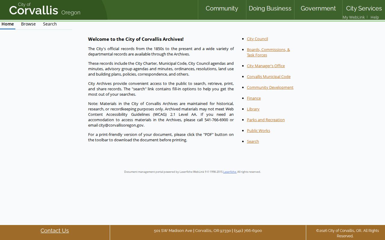
The archive route matters when a building-era question predates the online system. Keep the permit date beside, rather than in place of, the deed and directory dates. That makes it possible to distinguish an alteration from a change in ownership or occupants.
Corvallis Directory Evidence and Census Years
Past residents are found most carefully by pairing dated local directory entries with federal census schedules and newspaper evidence. The Corvallis-Benton County Public Library verifies scanned local directories for 1934, 1937, 1940, 1947, and a 1954 telephone directory. These are selected scans, not evidence of an uninterrupted annual run. The library’s second-floor local-history collection is the fallback for additional telephone books and local materials.
- Record the surname spelling, initials, address form, spouse notation, occupation, and any rural-route wording in the target directory year.
- Check the next verified directory snapshot, testing the address and land description before assuming the same household continued.
- Pair the dated snapshot with the closest released federal census. The 1950 census is the newest publicly released decennial schedule under the 72-year framework.
- Use the library’s Benton County newspapers, held from 1857 forward on microfilm and largely digitized in-library from 1865, for notices or obituary context.
The historical volumes themselves are covered in the Corvallis city directory collections. Here, their role is one dated household clue in a single-address trail. A directory entry is useful evidence, not a certified residency finding.
Corvallis Directory Taxpayer Mark
The 1934 Maxson’s directory has a notable local detail. A left-margin asterisk marks a realty taxpayer that its publisher said was checked against a Benton County index. That symbol gives a researcher a testable property clue, not a conclusion that the listed address was owned or occupied by every named family member. Maxson’s also listed rural routes separately, so a trail that turns into a route number should not be forced into a modern street match.
The directory’s explanatory notes say information was gathered through house-to-house calls and other checks, while also disclaiming accuracy. Its family listings may include an address, occupation of the head of family, spouse notation, children under 18, and adult family members. Oregon State College students who were not regularly resident in Corvallis were excluded from the general family list. Read the scanned page before transcribing because the OCR can be imperfect.
Note: The taxpayer asterisk is a historic lead to test against land records, not proof that a listed family occupied or owned the parcel.
Corvallis Historic Maps and Earlier Addresses
When a modern street number stops working, preserve the original form and compare it with parcel and map evidence. The City’s current addressing policy explains how the Corvallis grid and quadrant prefixes work, but research did not locate an authoritative citywide street-renumbering chronology. That gap is a reason to document the source wording, not an invitation to silently replace an older address with a modern guess.
The May 1884 Corvallis Sanborn map has two sheets that can show building footprint, materials, use, and street context in its covered area. It does not identify occupants. The State Archives inventory also lists Metsker’s Benton County atlases for 1929, 1962, and 1967 in the library atlas case, plus assessor maps. Use them to compare roads, lots, and subdivisions before returning to the deed’s legal description.
Lawful Corvallis House-History Research
House history, family history, and estate research all benefit from a dated, source-by-source trail. A probate, obituary, cemetery, or newspaper item may help close a historical timeline, but each needs independent confirmation. No official Corvallis municipal cemetery search was located in the research, so the library and historical collections are the documented alternatives. A missing result does not prove that a person was absent from an address.
Lawful use. Use Corvallis previous-resident material for history, family research, estate questions, or personal curiosity. Oregon law does not permit using public information to stalk, threaten, harass, or harm anyone.