
Corvallis Neighbors and Block Sources
A block lookup works best when each record is given its proper job. Benton GIS shows parcel geometry and identifiers. Assessment accounts provide parcel-level property and recorded-owner leads. The recorder can supply instrument context after a name, date, or document clue. City association resources show a community boundary and contact route. None of these sources is a public list of the people living on a block. Read them as separate forms of geography, recorded interest, civic access, and community organization.
| Source | What It Shows About a Block | Access |
|---|---|---|
| Benton GIS taxlots | Parcel shapes, touching or facing lots, map-taxlot identifiers, and public layers | Linked taxlot viewer |
| Assessment accounts | One selected parcel’s account, property details, sales lead, and recorded-owner lead | Search an account or map taxlot |
| Recorded documents | Recorded party chain for a selected parcel once a name, document, or date is known | Digital Research Room |
| Voter-list order | Statutorily released registration fields within the requested scope and legal limits | Benton Elections order process |
| City association map | Association area, organizing criteria, and published communication route | City neighborhood-association resource |
| City permits | Location-linked work and application context | Current search or City Archives |
The parcel and assessment layers answer a property question, not an occupancy question. A map boundary may show who is adjacent in spatial terms, but it does not establish a resident relationship. For a full named-street records method, use the Corvallis street directory rather than stretching a block map into a streetwide roster.
Map Corvallis Neighbors With Taxlots
The county’s adjacent-parcel method begins with a verified address, not an assumption about a household. The Benton County Assessment Property Account Search can find a property by address, owner name, account number, or map and tax-lot number. Its result links the Map Taxlot into the county viewer. The GIS layer exposes parcel polygons and identifiers such as MapNumber, ORMapNum, Taxlot, MapTaxlot, and ORTaxlot. It also carries roads, boundaries, zoning, and other geographic layers.
Corvallis Community Development Maps collect the City’s address and taxlot-based property-information tools.
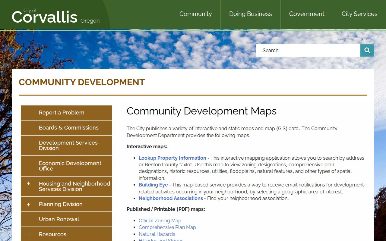
The map is useful for spatial context, such as a shared boundary or facing frontage. It does not transform parcel polygons into an occupant list. County public GIS services describe the relationship of parcels to each other, not a list of all people associated with them.
Note: Record the map-taxlot identifier before leaving the viewer, because an address-text match alone can return more than one county account.
Trace a Corvallis Neighboring Parcel
Work outward one parcel at a time. A result can include more than one account at an apparent street address, so confirm the property type and map taxlot before extending the trail. The county’s assessment result may offer property summary, value history, tax information, sales history, improvement detail, and a Taxlot Map. The property summary labels a situs address and directs users to another linked layer for the most current owner information. That division is a reason not to infer a current resident from either label.
- Search the starting address in Assessment and record its account and Map Taxlot.
- Open the Taxlot Map, then pan or zoom to parcels that touch or face the starting parcel.
- Record each adjacent map-taxlot identifier and return it to Assessment, one account at a time.
- Use the account’s sales or deed reference to search the recorder by party, document number, or recording date where recorded-instrument context is needed.
- Compare the legal description and map taxlot before connecting any deed to the selected parcel.
In short: address → assessment account → Map Taxlot → adjacent parcels → selected assessment accounts → recorder context. That flow identifies a defensible property trail around one location without presenting it as a resident list.
- Taxlot
- A mapped parcel identifier used to reconnect GIS geometry with an assessment account.
- Situs address
- The physical address assigned to a parcel, distinct from a contact or mailing address.
- Recorded owner lead
- A property-interest clue that requires document and legal-description confirmation and does not prove occupancy.
Corvallis Neighbors, Walking Lists, and My Vote
Oregon My Vote is an individual self-service registration and ballot-status tool. It is not a public street-by-street browser. A formal voter-list request follows a separate process. Benton County’s Elections Data Order Form can request a Walking list, described as names and addresses sorted by house number within streets. The form asks for the scope, format, delivery route, requester details, and how the information will be used.
The distinction matters. Under ORS 247.945 and related election statutes, the county prepares a list only to the extent its system can do so, and it excludes Address Confidentiality Program, confidential, and other protected information. The form repeats ORS 247.955’s restriction on commercial use. Oregon My Vote helps an individual manage their own record; it does not substitute for the regulated county request.
Note: A missing name in a released voter record does not establish that a person does not live nearby, because registration and confidentiality rules create intentional gaps.
Corvallis Neighbor Association Boundaries
Corvallis recognizes neighborhood associations that include everyone inside their boundaries, provide two contacts, meet at least annually, set boundary criteria, and file an organizing document. The City’s interactive map is an address-to-community tool: locate an address, identify the mapped association, then use the association’s published communication or meeting channel. City recognition does not mean the City publishes member rosters.
The City’s neighborhood-association program provides the official map and recognition context.
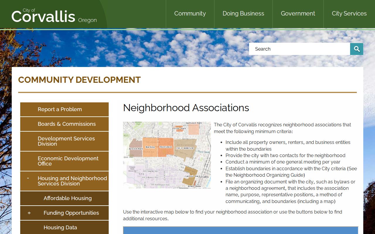
Association boundaries are a way to understand the community setting around an address. They are not evidence that every person inside the area belongs to an association, attends a meeting, or appears in a public directory.
Corvallis Neighbor Association Examples
The City describes associations with different histories, boundaries, and ways of communicating. These examples help explain why the map, rather than an assumed neighborhood name, should be the starting point for a Corvallis block. Their published details do not create an address-by-address membership record.
| Association | City-described local detail | Communication noted by City |
|---|---|---|
| Tunison | Formalized in 2011; includes Tunison Avenue, Butterfield Drive and Place, Pickford Street, Leonard Street, and a small unnamed street. | Annual meeting minimum, email, door flyers, and Nextdoor. |
| Jobs Addition | Formalized in 2003; City describes boundaries from 10th to 19th and Beca to Tyler. | Listserv and annual events. |
| College Hill | Formalized in 2001; City describes a boundary involving Harrison, Arnold Way, NW 27th, Orchard, and NW 35th. | Email and listserv. |
| Dixon Creek | Formed in 2020; City describes NW 29th, NW Walnut, NW Kings, and NW Circle as its boundary. | Annual meeting and published association contacts. |
The City’s neighborhood-association meeting-space resource is one documented City channel connected to these local organizations.
The association layer adds voluntary community context to a block search. It should never be read as a personal roster or an official confirmation of residence.
Note: An association boundary identifies a community area and contact route, not the people who participate or live within that area.
Corvallis Neighbor Block Context
When the question is about change around a block, City development records and historic maps add context without naming an occupancy list. Corvallis Development Services says its permit database contains permits and applications from 1990. Search Cases can use a house number and street name, parcel ID, permit reference, owner or contractor name, or status. Before 1990, the documented route is City Archives, Community Development, then Address Documents. A permit can date a project, alteration, or inspection trail, but it does not establish a transfer of ownership or who was present at a place.
For older physical context, the May 1884 Corvallis Sanborn sheets show buildings, materials, uses, and streets in their covered area. The City’s property-information tools also provide zoning, historic resources, utilities, floodplain, and natural-feature context by address or Benton County taxlot. Those layers are useful for understanding a block’s shape and record history. They do not turn a map boundary into a list of neighbors.
Corvallis Neighbor Records Compared
Official sources and commercial neighbor-search categories answer different questions and carry different limits. A county map can be checked against the public parcel system and the custodian. A commercial result may be incomplete, delayed, or use a different matching method. For a block question, start with the official record that matches the claim, then confirm a document with the holding office.
| Official property and civic records | Commercial neighbor-search category |
|---|---|
| Shows a defined public source, its access channel, and its stated boundaries. | May combine sources or present information with its own pricing, matching, and privacy practices. |
| Lets a researcher confirm a parcel or document with Benton County or the City custodian. | Does not replace the custodian’s record or resolve a map, taxlot, or legal-description conflict. |
| Voter material follows Oregon statutes and the County order process. | Cannot override confidential-address protections or turn a public boundary into an occupancy list. |
Privacy Limits for Corvallis Neighbors
Parcel adjacency does not reveal all household members, utility customers, delivery records, current contact information, address-confidential participants, or everyone at a nearby address. Oregon’s Address Confidentiality Program protects eligible participants in released voter lists. A voter may also seek residence-address confidentiality through the county clerk under ORS 247.965, and public bodies may consider a personal-safety nondisclosure request under ORS 192.368 in the circumstances the statute describes.
Property and lien records have their own rules, and a safety request does not automatically remove historical land records. Direct a correction, redaction, or confidentiality request to the exact custodian. For a City file not available online, the City Recorder requires a written public-records request; for a county record, use the appropriate county office or request channel.
Lawful use. Use Corvallis neighbor records for block context, civic curiosity, or reconnecting through voluntary channels. Oregon law does not permit using public information to stalk, threaten, harass, or harm anyone.